Zoning Master Plan for the National Territory of Cameroon
CLIENT
Ministry of Economy, Planning and Regional Development (MINEPAT)
COUNTRY

Cameroun

Cameroon
FUNDING
State budget
CONTRACTUAL SCHEDULE
2015 - 2017
PROJECT DESCRIPTION
The elaboration of the National Territory Zoning Plan consists of the identification/ delimitation of geographical zones in terms of land allocation and use, with a cartographic basis known and accepted by all stakeholders. The overall aim is to provide a reference framework for the occupation and use of the national territory. This zoning will make it possible to define the location and timetable of future projects (concession, extension or creation of new protected areas, creation of new infrastructures, etc.) and to avoid competing or incompatible uses from overlapping geographically (forest-agriculture, forest-mine, etc.).
SCOPE OF SERVICES
- Elaboration of the national Land Use situation
- Elaboration of an Indicative Land Allocation Plan
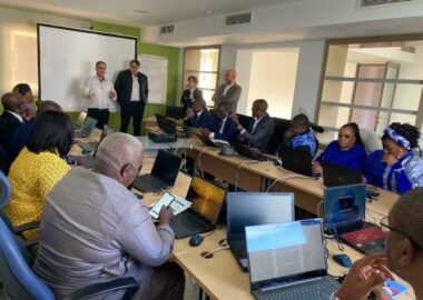
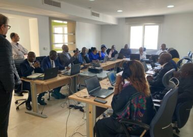
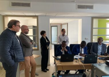
- Animation of the consultation and decision-making process
- Institutional strengthening and capacity transfer
ROLE
Team leader
PROVIDED TASKS
- Land Use Planning
- Cartography and GIS
- Technical Assistance and Capacity Building Enhancement
- Elaboration of Master Plans, Policies and Sector Strategies
- Socio-Economic Studies, Surveys and Statistic Analysis
FIELDS OF ACTIVITY
Sustainable Development (SD) & Climate Change (CC)
Towns & Land Planning
- Land Use Planning
- Urban Development
- Rural Development
- Local Development
- Industrial Development
- Rural and Urban Land Use Planning


